Starting in the early 90’s, Mines use GPS in a wide variety of ways. While technological advancements have played a crucial role in enhancing operational efficiency, safety, and productivity, GPS is one innovation that has revolutionized the way mines use location intelligence to unlock a myriad of benefits that have reshaped the way we mine. Here, we will explore how this technology is used in mining and the remarkable advantages it brings to the table.
Companies such as Trimble, Navteq and Topcon have provided both Standard Precision and High Precision GPS units. More recent companies that have made a lot of inroads into the mining market are Arrow and Emlid. We at GroundHog use Trimble, Topcon and Arrow – depending on the use cases, the level of precision a customer wants, and the availability of hardware in the country.
Mines use GPS for Precision Guidance
sing GPS technology, mining operators are able to track, monitor, and navigate their equipment with unrivaled precision and accuracy. GPS receivers installed on mining machinery receive signals from a network of satellites orbiting the Earth. These signals provide real-time positioning information, allowing operators to pinpoint the exact location of their equipment at any given time.
GPS helps Miners keep track of the the dig-block from which you are excavating, and loading haul trucks. Knowing which dig block you are getting loaded from helps with routing for the haul-truck operators — to figure out whether you need to dump at the crusher or into a stockpile. Or perhaps to the overburden.
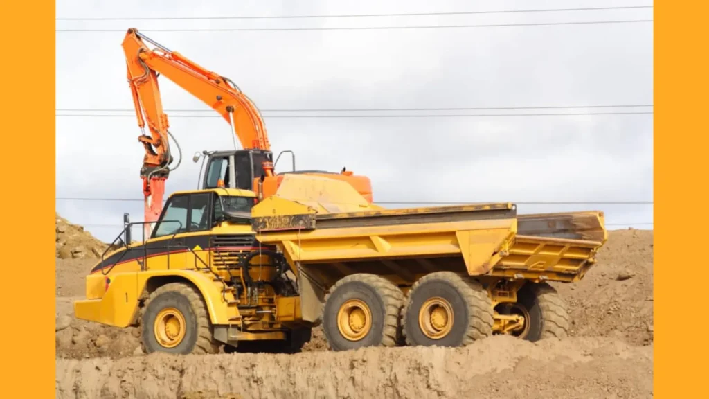
Mines use GPS to Optimize Haulage and Fleet Management
Efficient haulage and fleet management are essential for a successful mining operation. GPS technology enables precise tracking of vehicles and equipment, optimizing routes and reducing fuel consumption. By leveraging real-time positioning data, mining operators can identify the most efficient paths, avoid congested areas, and optimize the utilization of their fleet.
Furthermore, GPS technology facilitates effective fleet coordination and dispatching. Operators can monitor vehicle locations, allocate resources efficiently, and respond to changing operational needs in a timely manner. This streamlined approach minimizes idle time, improves productivity, and reduces operational costs.
Mines use GPS to Enable Efficient Blast Management
Blast management is a critical aspect of mining operations, and GPS technology has streamlined this process. By precisely tracking the location of drill holes and explosive charges, mining operators can ensure accurate and controlled blasting. GPS-enabled devices can guide drilling equipment to designated positions with remarkable precision, minimizing wastage and maximizing the effectiveness of blasts.
Additionally, GPS technology enables real-time monitoring of blast vibrations and air overpressure. This data helps mining operators adhere to regulatory requirements, mitigate environmental impact, and ensure the safety of nearby communities and infrastructure.
Mines use GPS to Improve Safety and Asset Management
Safety is a top priority in the mining industry, and GPS technology has significantly contributed to enhancing safety standards. By accurately tracking the location of equipment and personnel, mining operators can ensure that workers remain in safe zones and avoid hazardous areas. This real-time visibility minimizes the risk of accidents and improves emergency response capabilities.
Additionally, GPS technology enables efficient asset management. GroundHog allows mining companies to precisely monitor the movement and utilization of their equipment, ensuring optimal deployment and reducing downtime. With insights into equipment usage patterns, maintenance schedules can be streamlined, maximizing productivity and extending the lifespan of machinery.
Mines use GPS to Enhance Surveying and Mapping
Accurate surveying and mapping are fundamental in the mining industry. GPS technology has transformed these processes, eliminating the need for manual surveying and reducing human error. With GPS receivers mounted on surveying equipment, miners can rapidly capture precise location data and create detailed, three-dimensional models of mining sites.
These digital models enhance the understanding of terrain, mineral deposits, and potential obstacles, enabling better planning and decision-making. By utilizing GroundHog’s GPS technology for surveying and mapping, mining operators can optimize mine designs, identify optimal drilling and blasting locations, and maximize the recovery of valuable resources.
Embracing the Future of Mining with GPS Technology
The utilization of GPS technology has transformed the mining industry, empowering operators with unprecedented control, accuracy, and efficiency. From improved safety and asset management to optimized haulage and fleet coordination, the advantages of GPS in mining are undeniable. By leveraging GroundHog’s technology, mining companies can enhance their productivity, minimize costs, and achieve sustainable growth.
At GroundHog, we understand the importance of cutting-edge solutions in mining. Our standard precision GPS technology and our High-precision GPS technology and expertise are at the forefront of the industry, empowering mining operators to navigate the complexities of their operations with confidence. With our state-of-the-art GPS solutions, you can unlock a new era of productivity and profitability. Join us in embracing the future of mining. Contact GroundHog today to learn more about our GPS technology and how it can revolutionize your mining operations.
Note: While the provided article can be a useful source of information, it’s important to remember that technology and practices in the mining industry may have evolved since its publication. Therefore, it’s recommended to seek the most up-to-date information from trusted sources and industry experts.