Blog
Drilling Revolutionized: 4 Powerful Ways GroundHog is Leading the Charge with High-Precision Solutions
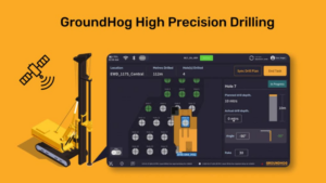
GroundHog is revolutionizing the mining industry with its high-precision solution

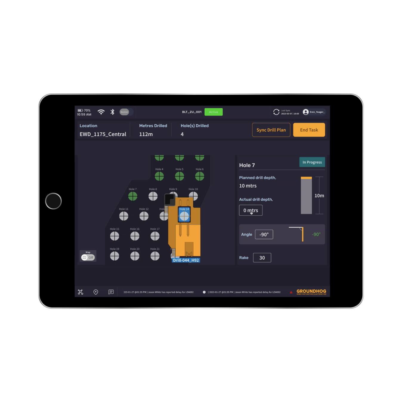


GroundHog is revolutionizing the mining industry with its high-precision solution
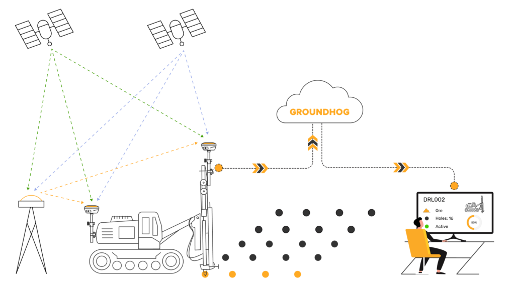
Starting in the early 90’s, Mines use GPS in a
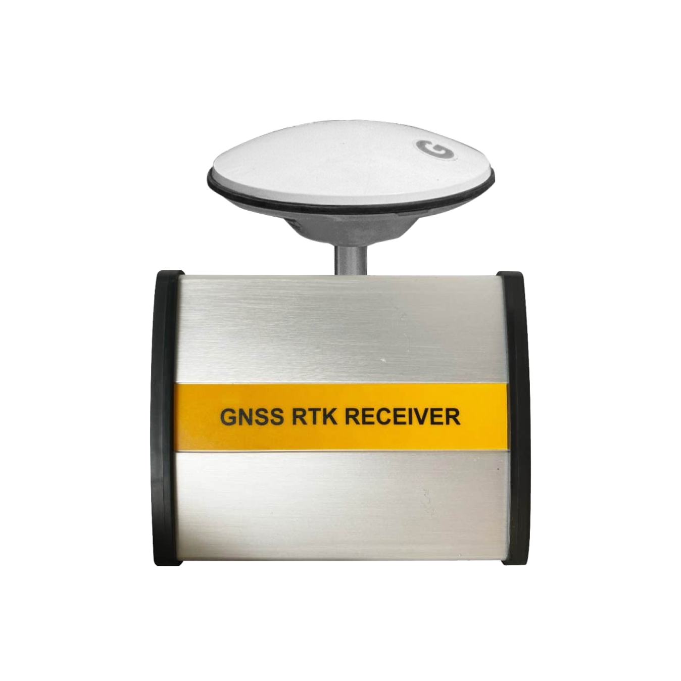
RTK (Real-Time Kinematic) and GNSS (Global Navigation Satellite System) are