RTK (Real-Time Kinematic) and GNSS (Global Navigation Satellite System) are both widely used technologies for utilizing GPS in mining operations. While they share the common goal of providing accurate positioning information, there are important differences between the two approaches.
RTK: Real-Time Kinematic
RTK is a precise positioning technique that utilizes a network of reference stations and a base station to deliver centimeter-level accuracy in real-time. The base station receives signals from multiple satellites and computes corrections for the GPS data based on the known positions of the reference stations. These corrections are then transmitted to the RTK receiver on the mining equipment, enabling it to achieve highly accurate positioning in real-time.
The main advantage of RTK is its exceptional accuracy, which makes it ideal for applications that require precise positioning, such as guiding mining machinery along designated paths, optimizing excavation routes, and ensuring efficient resource recovery. RTK technology allows for real-time monitoring and control, minimizing overlaps, reducing rework, and maximizing operational efficiency.
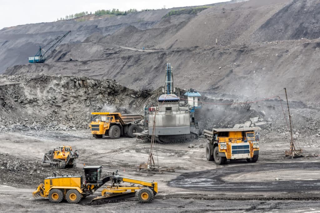
Mines use RTK base High Precision GPS units on Drills, Dozers and Graders in open pit mines, quarries and aggregates.
In cases where you have a fairly heterogeneous ore body, mines also use RTK based high precision GPS units on their Excavators (also called Diggers) and their Front Wheel Loaders for proper routing to ensure blend compliance based on ore sample results from the Geologists and Geotechs.
GNSS: Global Navigation Satellite System
GNSS, on the other hand, is a broader term that encompasses various satellite navigation systems, including the United States’ GPS, Russia’s GLONASS, Europe’s Galileo, and China’s BeiDou. GNSS receivers are capable of receiving signals from multiple satellite constellations, enabling them to utilize signals from a larger number of satellites. This multi-constellation capability enhances positioning accuracy, availability, and reliability.
GNSS technology is widely used in mining operations to provide accurate positioning and navigation information. It offers greater flexibility in terms of satellite selection, especially in areas where the visibility of certain satellite constellations may be limited due to obstructions or other factors. By receiving signals from multiple constellations, GNSS receivers can ensure continuous positioning even in challenging environments, improving operational efficiency and safety.
Choosing the Right Technology for Mining
When it comes to choosing between RTK and GNSS for utilizing GPS in mines, several factors should be considered. RTK offers the highest level of accuracy, making it particularly suitable for applications that demand precise positioning, such as equipment guidance and control. On the other hand, GNSS provides broader satellite coverage, ensuring continuous positioning even in challenging conditions.
Ultimately, the choice depends on the specific requirements and objectives of the mining operation. Some applications may benefit greatly from the sub-centimeter accuracy provided by RTK, while others may prioritize continuous positioning and flexibility offered by GNSS.
At GroundHog, we understand the unique needs of mining operations and offer solutions that leverage RTK and GNSS technologies. Our experts can help you determine the most suitable approach based on your specific requirements, ensuring that you harness the full potential of GPS technology in your mining operations.
Note: As technology continues to evolve, it’s important to stay informed about the latest advancements and consult with industry experts to make well-informed decisions regarding GPS utilization in mining. We are always here to help!